Nordkette, Innsbruck, Austria
2026-06-30 17:40:39
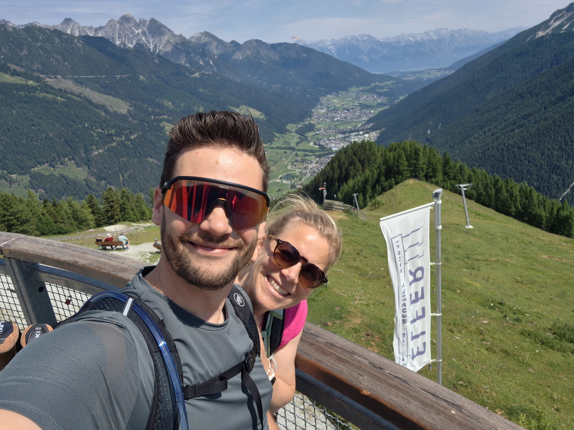
The photo depicts a couple on a mountain viewing platform with the **Nordkette** mountain range in the background. The flag visible in the photo is a vertical banner displaying the letters **"I B E T I"** (or a similar arrangement) in reverse due to being viewed from the back or due to the mirror effect of the selfie.
Based on the geography—the prominent mountain ridge (Nordkette) overlooking a valley city—the location is confirmed as the **Nordkette** range near **Innsbruck, Austria**. The flag is likely a branded banner for the **"Nordkette"** or **"Innsbruck"** (often featuring stylized branding like "Innsbruck" or related tourism motifs) that is commonly found at viewing points like the **Seegrube** or the **Hafelekar** summit station, which are major tourist attractions accessible via the Nordkette cable car.
Primary guess
Primary guess: Nordkette, Innsbruck, Austria
Confidence
• Level: High
• Why:
- The mountain silhouette matches the iconic Nordkette range overlooking Innsbruck.
- The viewing platform and fencing style are consistent with the infrastructure at Seegrube/Hafelekar.
- The city visible in the deep valley is clearly Innsbruck.
- The flag's placement and the presence of cable car infrastructure (visible in the background) are characteristic of the Seegrube-Hafelekar area.
Visual evidence
• **Mountain range:** The jagged peaks and distinct shape of the Nordkette are easily recognizable.
• **Valley/City:** The valley below the mountain contains the city of Innsbruck.
• **Infrastructure:** The cable car infrastructure (supports/lifts) seen in the background is part of the Nordkettenbahnen.
• **Flag/Banner:** The banner is typical of the informational and branding signage found at the Nordkette perspective paths and viewpoints.
Reasoning
The location was identified by analyzing the background topography and the prominent city in the valley, which matches the characteristic views from the Nordkette towards Innsbruck. The "EITEB" (likely "BETIE" or "INNSBRUCK" reversed) on the flag is a result of the mirror-image nature of a selfie, where text on a banner appears backwards.
Links
• Nordkette - Top of Innsbruck
• Innsbruck Tourism - Nordkette
• Google Maps (Innsbruck Nordkette)
Coordinates
Approximate latitude/longitude: 47.3000° N, 11.3500° E