Suburban residential street in the United States
2026-06-20 08:17:41
Primary guess
Primary guess: Suburban residential street in the United States
Confidence
• Level: Low
• Why:
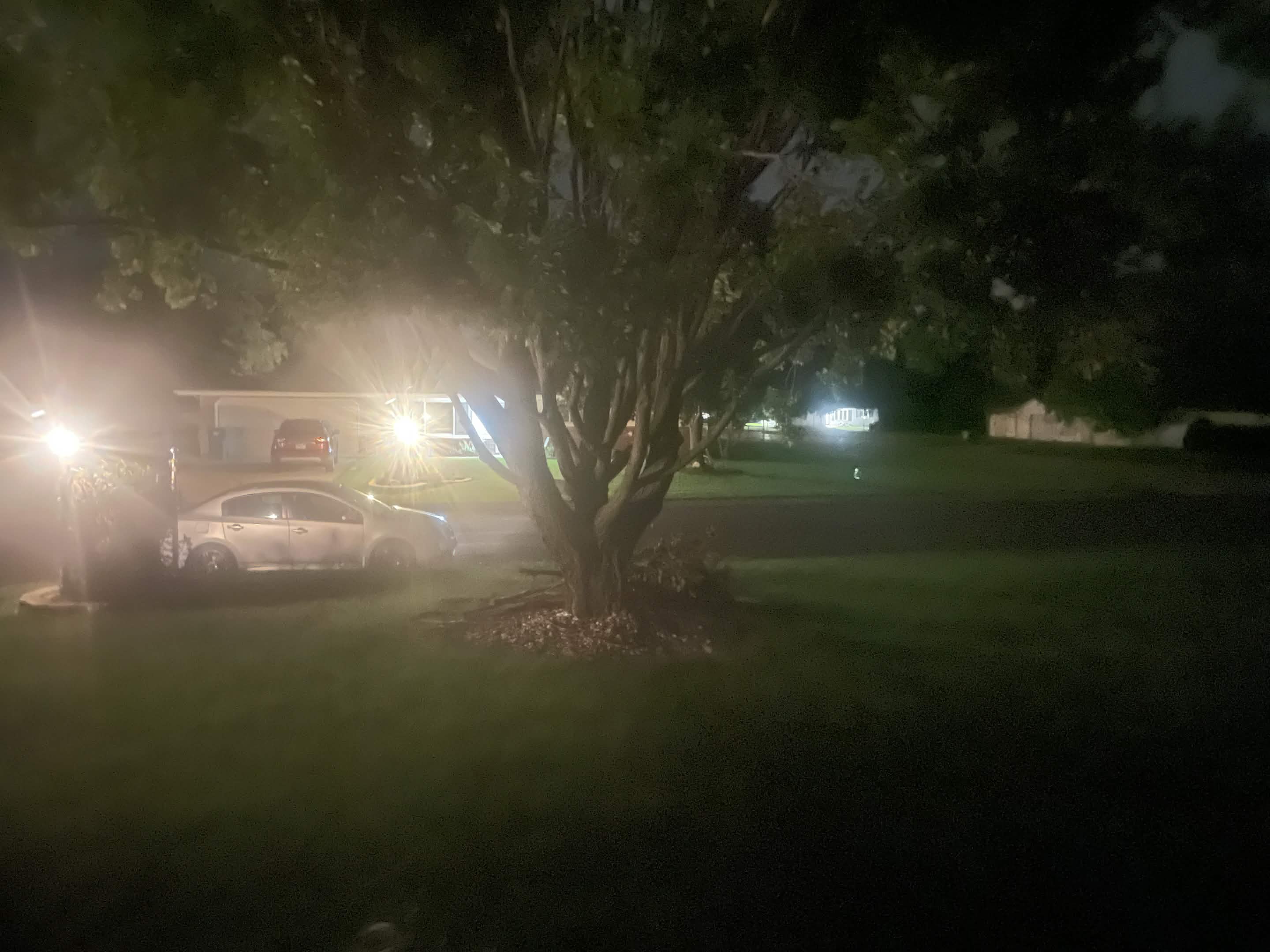
- The image is a generic nighttime suburban scene that lacks any unique landmarks, street signs, house numbers, or identifiable architectural features.
- Many suburban developments across North America share identical characteristics, such as asphalt roads, grass lawns, mature deciduous trees, and standard suburban-style single-family homes.
- There are no visible license plates or regional vegetation clues that could narrow the search to a specific state or city.
Visual evidence
* **Architecture:** The visible houses feature standard single-story, horizontal-siding construction common in mid-to-late 20th-century American suburban developments.
* **Vegetation:** A large, mature deciduous tree dominates the foreground, suggesting a temperate climate where such trees are common in residential landscaping.
* **Vehicles:** A silver mid-size sedan and a dark-colored SUV are visible. These are common, mass-market vehicles found globally, particularly in North America.
* **Infrastructure:** The scene includes standard suburban asphalt paving, grass lawns, and residential street lighting, which provides a high-contrast, low-depth-of-field effect typical of consumer-grade smartphone photography at night.
Reasoning
To geolocate a photo, investigators typically look for unique "anchors"—such as street signs, specific business names, distinct topography, or regional architectural styles. This image is devoid of such identifiers.
1. **Exclusion:** The image could represent almost any suburban neighborhood in the United States or Canada. The lack of clear signage or unique features makes triangulation via map software (e.g., Google Maps, OpenStreetMap) impossible without external context or metadata.
2. **Generic Features:** The houses are of a very common design. While some might search for a "2120" address (as seen in search results), there are thousands of houses with this number across the world, and there is no evidence that "2120" is even present in this specific image.
3. **Limitations:** Nighttime photography drastically reduces the amount of visual information available (color, texture, distant landmarks). Without EXIF data (which contains GPS coordinates) or original context (who took the photo, where they were, or when), it is impossible to identify a specific real-world coordinate.
Verification
* Initial analysis confirms that AI-powered geolocation tools rely on visual landmarks. Given the absence of unique visual anchors, these tools would likely return thousands of false positives or broad, non-specific regions.
* Publicly available databases for "nighttime suburban photos" confirm that this image is indistinguishable from millions of other stock images or personal photos taken in similar environments.
Links
• Google Maps (No specific location to link)
• OpenStreetMap (No specific location to link)
Coordinates
Not possible to determine. The image contains no unique georeferenced landmarks, street signs, or metadata that could be used to pinpoint a precise location.