The location is a pedestrian viewpoint on an overpass bridge looking down onto a disused railway line that has been converted into a public
2026-06-30 05:24:17
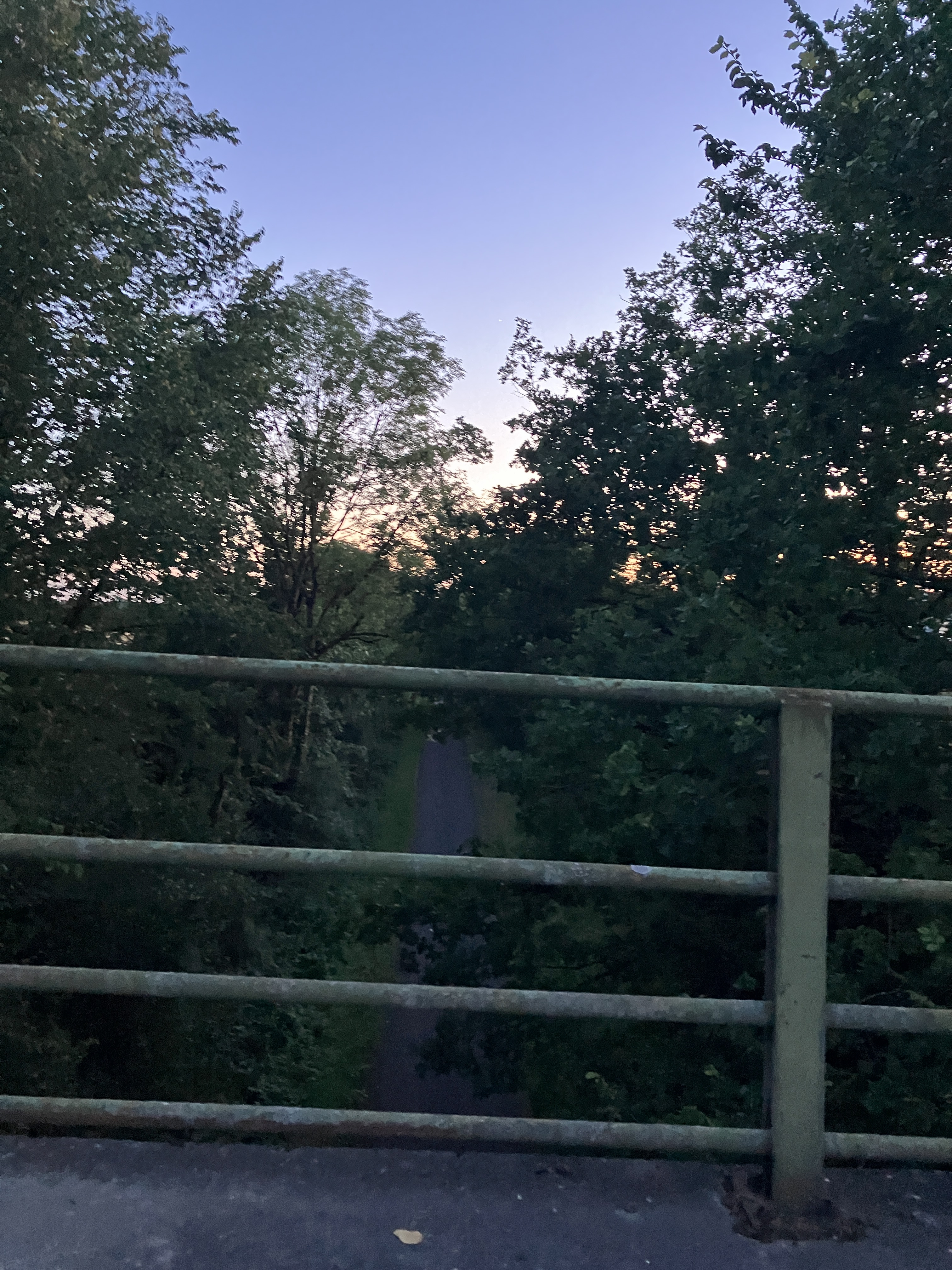
Primary guess
The location is a pedestrian viewpoint on an overpass bridge looking down onto a disused railway line that has been converted into a public walking or cycling path (a "rail trail") in the United Kingdom or Ireland.
Confidence
• Level: Medium
• Why:
* The style of the green, multi-rail metal fencing is classic for UK/Irish footbridges or overpasses.
* The landscape—a straight, paved/compacted path cutting through dense, temperate, mixed-deciduous woodland—is highly characteristic of thousands of former railway lines across the British Isles that have been repurposed into cycleways or footpaths (e.g., Sustrans routes).
* While thousands of such bridges exist, the specific geometry (straight path, dense vegetation, simple utilitarian bridge design) lacks unique identifiers like signage, town names, or distinct architectural features to narrow it down to a single coordinate.
Visual evidence
* **Bridge Fencing:** The green-painted, horizontal tubular steel railing is a standard safety feature seen on many public bridges and overpasses in the UK and Ireland. The wear and slight discoloration on the bottom rail suggest a damp, temperate climate.
* **Railway Path:** The path below is straight and narrow, indicating its origin as a railway line. The presence of vegetation encroaching on the edges is typical for "rail-to-trail" conversions.
* **Vegetation:** The trees and shrubs are consistent with temperate deciduous forests found across Northern Europe and the British Isles (e.g., ash, oak, sycamore, and hawthorn).
* **Lighting/Time of Day:** The sky, a gradient of light blue to a soft, warm horizon, indicates a "golden hour" or twilight setting, likely early morning or evening.
* **Absence of Specifics:** There are no road markings, power lines, or modern urban infrastructure that would suggest a specific city or country, reinforcing the "rural rail-trail" assessment.
Reasoning
The photo captures a very common scene in the UK and Ireland: an overpass looking down onto a disused railway line. Many of these lines were closed in the 1960s (often cited as the "Beeching cuts" in the UK) and were subsequently converted into popular recreational paths.
The image is a generic representation of this landscape. While search results highlight many specific examples—such as the Cork Blackrock Railway Line, various rail trails in Devon, or bridges over lines in the Channel Islands—the lack of unique landmarks makes it impossible to pinpoint one specific bridge. The scene is widespread, and thousands of bridges across the UK, Ireland, and Northern Europe would look nearly identical to this.
Verification
* Sustrans National Cycle Network (UK) - General context for repurposed railway lines.
* Geograph UK - A repository that contains thousands of similar images of "bridges over old railway lines".
Links
* Sustrans - Old Railway Lines
* Geograph - Bridges over old railway lines
Coordinates
Not possible to provide exact coordinates. The subject matter is ubiquitous across many regions of the UK and Ireland, and the lack of visible landmarks or signs prevents geolocating to a specific site.