The National Forest, England
2026-08-21 02:26:34
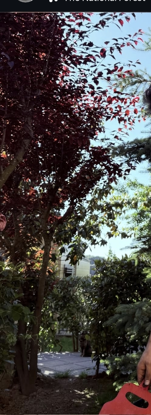
Primary guess
The National Forest, England
Confidence
• Level: Low
• Why:
- The image text "The National Forest" strongly suggests the UK-based environmental project known as "The National Forest," which is transforming 200 square miles in the Midlands of England.
- There is no specific architectural or geographical feature in the photo (e.g., identifiable landmarks) that confirms a precise location within this 200-square-mile area.
- The red-leafed tree and the residential-style patio area are common in garden settings within the UK, but are not unique to this specific project.
- The "The National Forest" logo is a specific brand/identity in the UK, whereas in the US, "national forest" is a generic term usually associated with USDA Forest Service lands.
Visual evidence
* **Text/Logo:** The phrase "The National Forest" is visible at the top, which refers to the specific environmental initiative in the English Midlands.
* **Vegetation:** A prominent tree with dark red/purple leaves (likely a variety of *Prunus cerasifera* 'Atropurpurea' or similar purple-leaf plum/maple often used in residential landscaping).
* **Setting:** The area looks like a private residential backyard or garden patio, indicated by the paved tiles, mowed grass, and proximity to a neighboring house (partially visible).
* **Climate/Environment:** The bright, clear blue sky and lush green vegetation are consistent with a temperate climate, such as that found in England during the late spring or summer.
Reasoning
The text "The National Forest" is the primary clue. While the term "national forest" is used widely in the United States to describe federal land managed by the USDA Forest Service, the inclusion of "The" and the specific branding style associated with UK tourism often points to the "National Forest" project in central England (extending through Staffordshire, Leicestershire, and Derbyshire).
However, the photo itself depicts a private backyard or garden, not a public forest wilderness. This suggests the photo was likely taken at a residence or property located *within* or near the designated boundaries of The National Forest in England. Because the area covers 200 square miles, it is impossible to pinpoint the exact house or coordinates based on generic garden elements like a patio and a red-leafed tree.
Verification
* National Forest (UK) official website
* The National Forest Way trail information
Links
• The National Forest (Official Website)
Coordinates
Not possible. The image features a private residential garden within a large, 200-square-mile geographical area, and there are no unique landmarks or distinctive geographic markers to allow for triangulation.