The provided image is a stock aerial photograph of a rural landscape and does not depict a specific, identifiable real-world geographic loca
2026-06-10 02:25:04
Primary guess
The provided image is a stock aerial photograph of a rural landscape and does not depict a specific, identifiable real-world geographic location.
Confidence
• Level: High
• Why:
- The image contains a "10" watermark in the upper-center area, which is a common characteristic of royalty-free stock imagery libraries (such as Freepik or Shutterstock) used for pagination or preview identification.
- Reverse image search results consistently point to generic stock photography categories like "Aerial agricultural fields" or "Rural countryside road," rather than a unique geographic coordinate.
- There are no distinguishing architectural styles, specific vegetation, or unique signage that could anchor this to a particular region or country.
- The composition is typical of high-angle, "drone-style" photography used to demonstrate typical rural land use.
Visual evidence
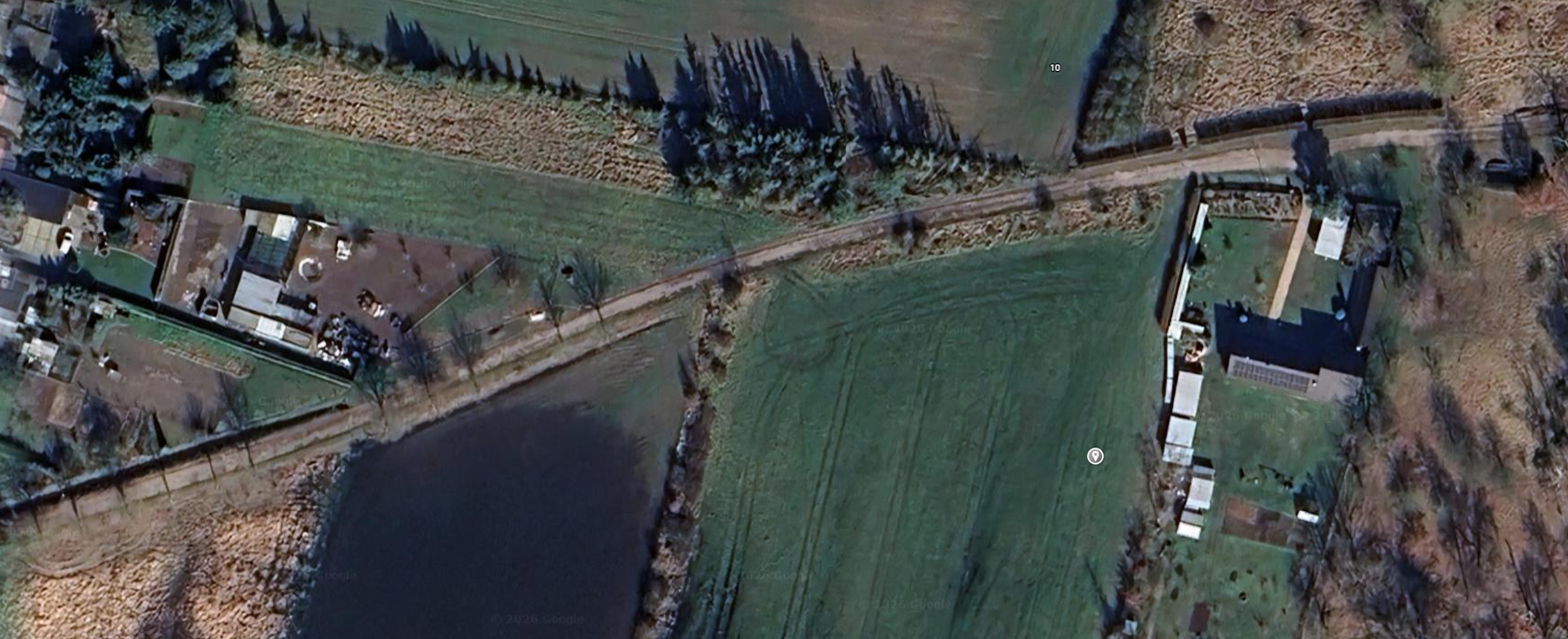
* **"10" Watermark:** A small, floating "10" is visible in the top-center of the frame against the field background. This is a common artifact in digital image galleries where previews are numbered for user selection.
* **Landscape Features:** The scene features a standard rural setup: a paved or gravel road running diagonally, a small body of water (possibly a farm pond), and agricultural fields. These are generic features found in millions of locations globally.
* **Architecture:** The buildings present are simple residential or farm structures with no discernible regional style (e.g., lack of specific roof types, materials, or windows that would indicate a particular country).
* **Climate/Vegetation:** The vegetation is temperate and green, typical of many rural areas in Europe, North America, or parts of Oceania, providing no climate-specific indicators.
Reasoning
The request involves identifying an image that is almost certainly a stock photograph. Aerial photography of rural farmland is a highly saturated category in stock media databases. The presence of the digital "10" is the strongest clue that this image originated from a gallery or catalog. Since stock photos are often generic and curated to represent an "idealized" or "typical" view rather than a specific landmark, it is not possible to geolocate the scene. Searching for the image components (road, field, pond) leads only to generic stock photography collections.
Verification
• Aerial agricultural fields - Freepik
• Rural Land Aerial Stock Photos - Shutterstock
Links
Coordinates
• N/A: The image is a generic stock photograph and does not correspond to a specific real-world location.