Undetermined (Likely a generic landscape)
2026-08-07 06:20:06
Primary guess
Undetermined (Likely a generic landscape)
Confidence
• Level: Low
• Why:
- The image lacks specific geographical markers such as unique architecture, signage, road signs, or landmarks.
- Pine trees and rainbows are common, widely distributed natural phenomena found globally, from North America to Europe and Asia.
- The image composition is typical of high-quality nature photography often found in stock photo libraries.
Visual evidence
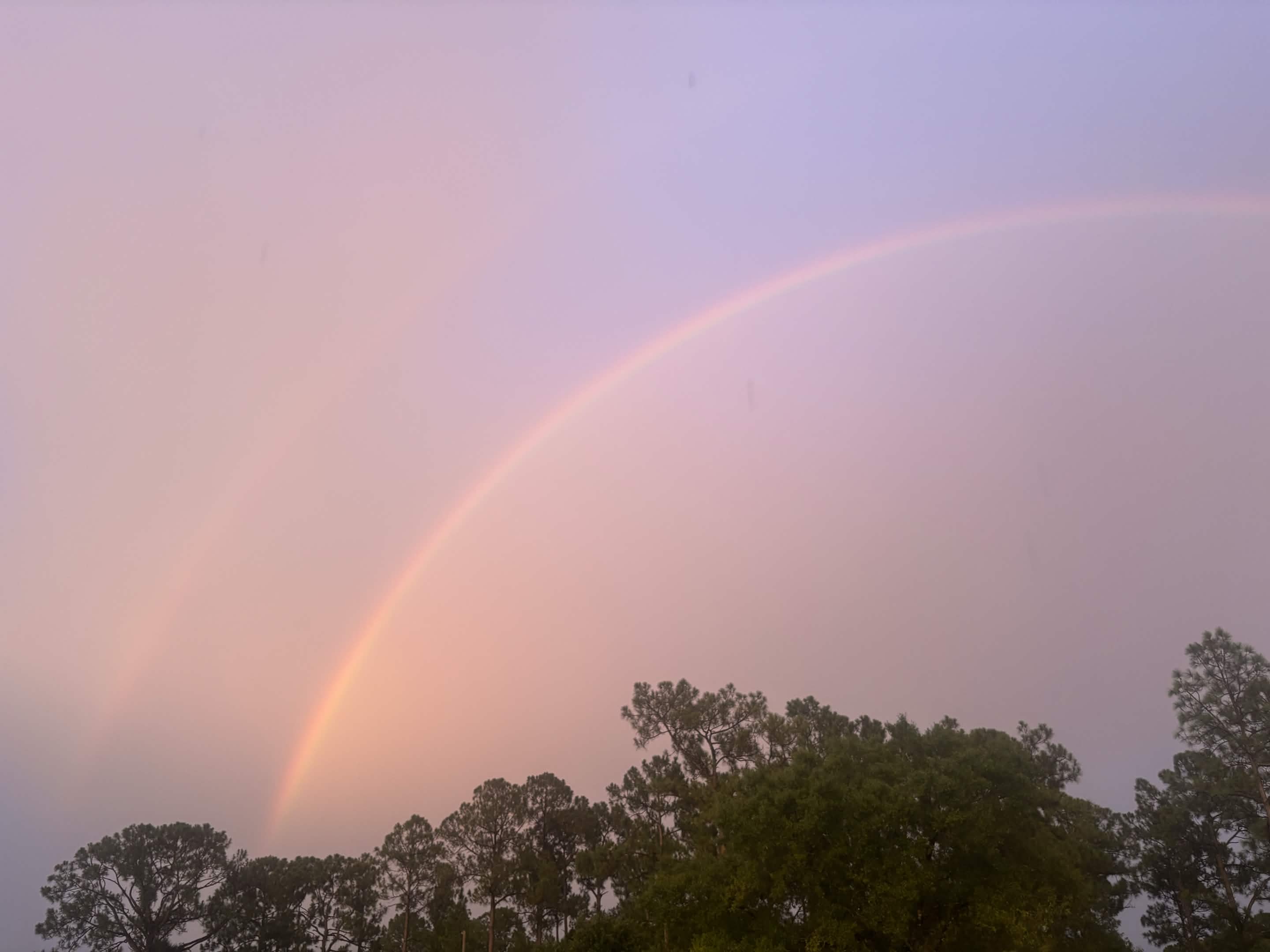
• **Vegetation:** Dense clusters of coniferous trees (appearing to be pine or similar evergreen species). These are ubiquitous in temperate and boreal climates worldwide.
• **Atmospheric conditions:** A visible double rainbow and a soft, pink/lavender-hued sky indicative of sunset or sunrise (the "golden hour").
• **Absence of man-made structures:** There are no houses, roads, utility poles, or other human-made objects that would allow for precise identification or triangulation.
Reasoning
To geolocate a photograph, analysts typically rely on "digital breadcrumbs" (metadata) or physical identifiers (landmarks, unique geography, street furniture, or language on signs). This image provides none of these.
1. **Lack of Unique Identifiers:** There is no terrain distinctive enough to distinguish it from thousands of potential locations in places like the Pacific Northwest (USA/Canada), the Alps, or high-altitude regions in Asia.
2. **Stock Photo Characteristics:** The composition is aesthetically balanced, focusing purely on natural elements, which is a hallmark of amateur or professional nature stock photography.
3. **Alternative Locations:** While the image resembles regions like British Columbia (e.g., near Okanagan Lake or Manning Park) or Washington State (e.g., Lake Wenatchee), these are broad areas with similar ecological profiles. Without further context, claiming a specific location would be speculative.
Verification
• Search queries for "double rainbow pine trees sunset" consistently return stock imagery or general travel photography from diverse locations worldwide, confirming that this is a common landscape trope.
• Standard OSINT methodologies for image geolocation require foreground or background context (buildings, signs, mountain silhouettes) to match against satellite or ground-level map data; such data is entirely absent here.
Links
• Google Maps (Generic Search for Pine Forests)
• OpenStreetMap
Coordinates
• **Not possible:** The image contains only sky and common forest vegetation, which provides no reference points for latitude or longitude.