Wesel-Datteln Canal, Germany
2026-08-04 17:24:16
Primary guess
Wesel-Datteln Canal, Germany
Confidence
• Level: High
• Why:
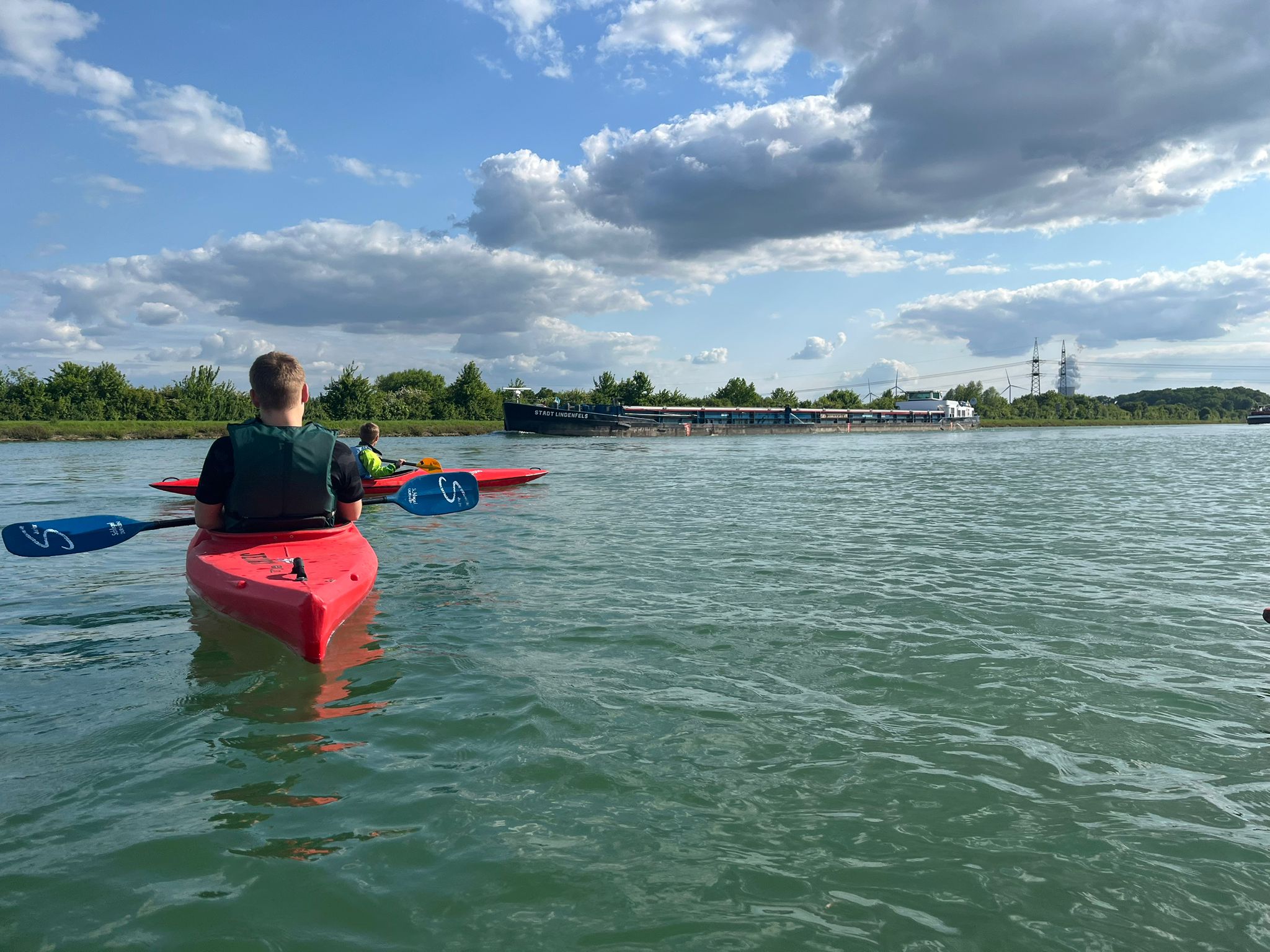
- The vessel visible in the background is clearly named "STADT LINDENFELS".
- AIS data and maritime incident reports consistently place the *Stadt Lindenfels* on German inland waterways, specifically the Wesel-Datteln Canal.
- The landscape—a wide, engineered canal with grassy embankments and overhead power lines—is characteristic of German industrial canals like the Wesel-Datteln Canal.
Visual evidence
• **Vessel:** The self-propelled barge is explicitly identified by the name "STADT LINDENFELS" painted on its hull.
• **Waterway:** The water is calm and confined, typical of a canal rather than a natural river or open sea. The presence of a large, commercial barge in such close proximity to kayakers is standard for major German shipping canals.
• **Topography:** The flat, grassy banks and the visible power lines in the distance are common features along the route of the Wesel-Datteln Canal, which passes through industrial and rural sections of North Rhine-Westphalia.
• **Climate/Setting:** The vegetation and cloud cover are consistent with a temperate European summer climate.
Reasoning
The vessel *Stadt Lindenfels* is a known inland cargo ship (binnenschiff) that operates on German waterways. Public maritime records and incident logs explicitly mention this ship operating on the Wesel-Datteln Canal. Given the visual confirmation of the ship's name and the physical characteristics of the waterway (a canal setting), this is the most logical location. While the ship may travel on other parts of the German canal network (such as the Mittelland Canal), its presence on the Wesel-Datteln Canal is well-documented in regional reports.
Verification
• Shipwreck Log: Collision on Wesel-Datteln Canal involving Stadt Lindenfels
• YouTube: MS "Stadt Lindenfels" on the Mittellandkanal
• MyShipTracking: Stadt Lindenfels Vessel Information
Links
• Wesel-Datteln Canal (Wikipedia)
Coordinates
Approximate area: 51.66°N, 6.78°E (General area of the Wesel-Datteln Canal near Hünxe)